How the area took shape
Brick Lane has been shaped by successive communities, including French Huguenots, Jewish immigrants and the Bangladeshi community. Tower Hamlets Council records its market as established in 1888. That layered history gives the street a significance beyond its current visitor appeal.
Local character
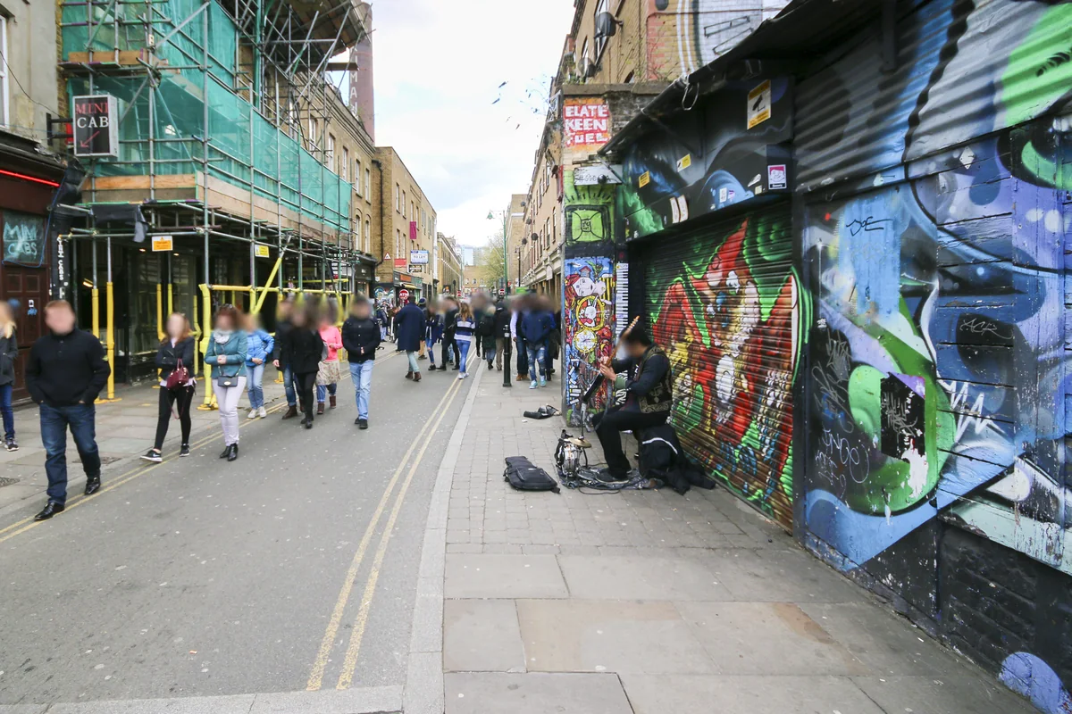
The market and street art draw attention, while the streets around Brick Lane reveal a more varied residential setting. Some addresses sit close to the busiest visitor routes; others are tucked away behind them. Consider the relationship of a property to shops, venues and servicing access rather than relying on the neighbourhood name alone.
Everyday life & places to explore
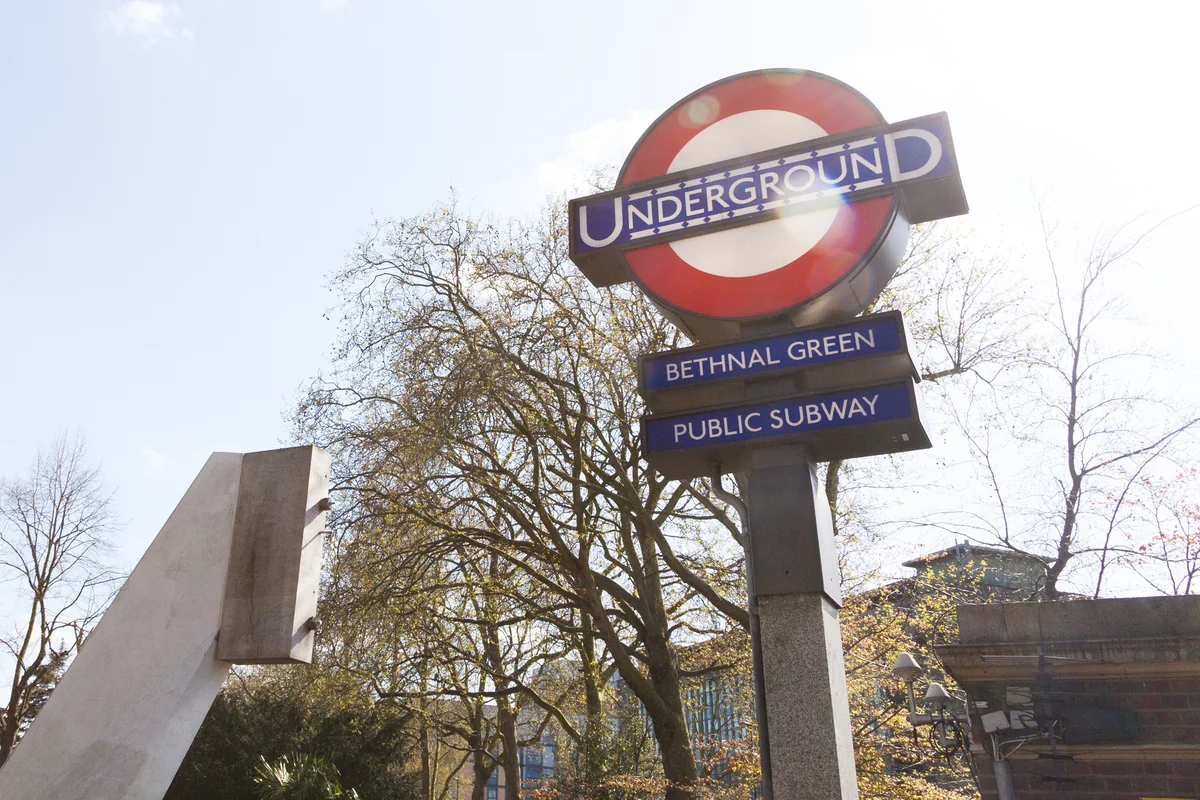
The council’s market information highlights food, fashion and art. A first visit can combine the street itself with the side streets towards Spitalfields and Bethnal Green. For anyone planning to live nearby, returning outside the busiest market period is a useful way to separate a weekend visit from an everyday routine.
Getting around
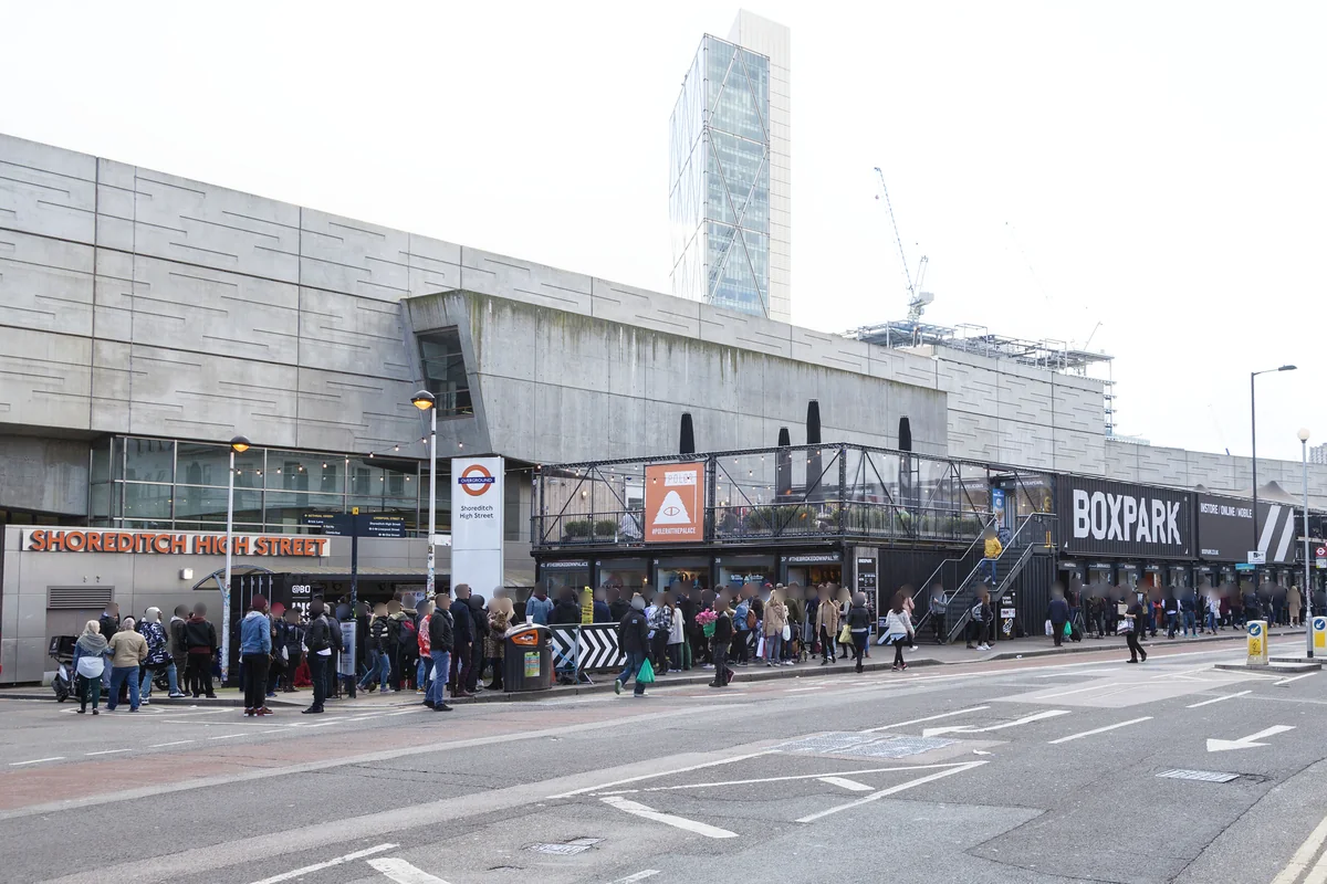
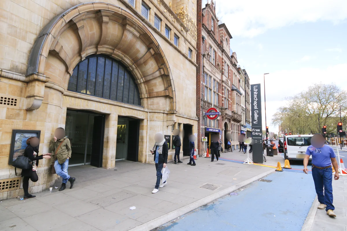
Shoreditch High Street serves the northern end via the Windrush line; Aldgate East is useful towards the south. Liverpool Street is another option for some addresses. Brick Lane has no station of its own, so compare the actual walking routes.
Routes and access can change. Check your journey and station access with TfL (opens in a new tab) before travelling.
Population & boundaries
Brick Lane is a street and loosely defined surrounding area. It has no single neighbourhood census boundary; borough figures cannot provide a street population.
For wider demographic context, use the ONS profile for Tower Hamlets linked below. We have not substituted its borough total for a neighbourhood count.
On your first visit
- Visit both during market activity and at a quieter time.
- Check which end of the street a property is near before choosing a station.
- Look at bedroom position and access arrangements for homes above or beside shops.
Sources & further reading
Reviewed . Local history and transport references are linked below. Population context uses the stated census geography and year.