How the area took shape
The museum building on Cambridge Heath Road opened in 1872. Its iron structure had previously stood in South Kensington before being moved across London. Today it houses Young V&A, adding a new chapter to a long tradition of public learning in Bethnal Green.
Local character
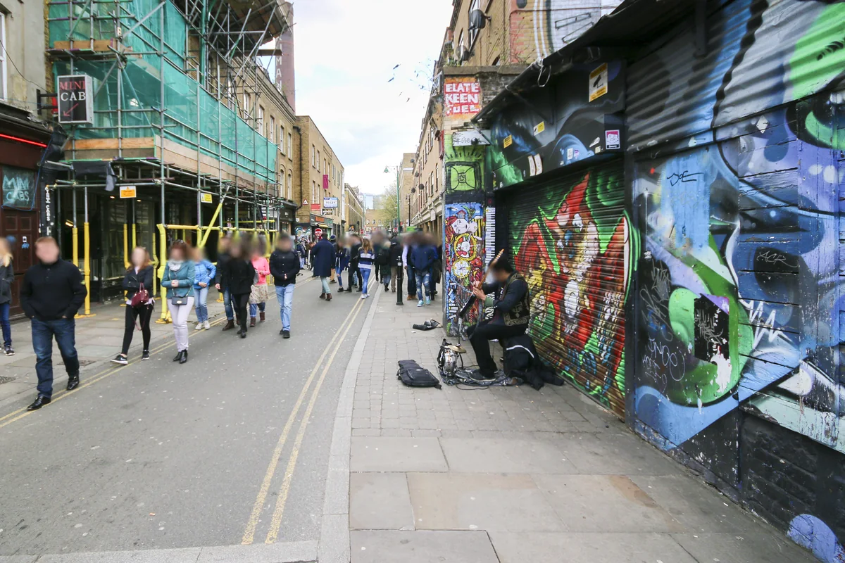
Bethnal Green is more than a single high street. Bethnal Green Road, Cambridge Heath Road and Roman Road form different parts of its daily life. When comparing homes, look at their relationship to these busy routes as well as their proximity to gardens and smaller streets. A postcode alone cannot describe the setting of an individual property.
Everyday life & places to explore
Young V&A offers a focus for art, design and play. Bethnal Green Gardens and nearby Weavers Fields provide outdoor space, while the shops along the main roads make it possible to combine a viewing with everyday errands. City Financial Property Services’s office is at 91 Roman Road, so a visit can also be a chance to discuss the wider area.
Getting around
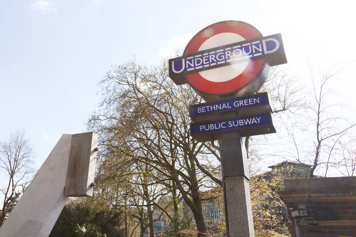
Bethnal Green Underground serves the Central line. The separately located Bethnal Green railway station serves the Weaver line. Check which station a property description means and walk the route from the actual front door; the shared name can otherwise be misleading.
Routes and access can change. Check your journey and station access with TfL (opens in a new tab) before travelling.
Population & boundaries
Bethnal Green is a neighbourhood, not a single fixed census unit. Tower Hamlets statistics give wider context, not a Bethnal Green headcount.
For wider demographic context, use the ONS profile for Tower Hamlets linked below. We have not substituted its borough total for a neighbourhood count.
On your first visit
- Compare the walk to the Tube with the walk to the separate Overground station.
- Visit the main-road frontage and the street behind it to compare traffic and activity.
- Include Museum Gardens or Weavers Fields in your first neighbourhood walk.
Sources & further reading
Reviewed . Local history and transport references are linked below. Population context uses the stated census geography and year.