How the area took shape
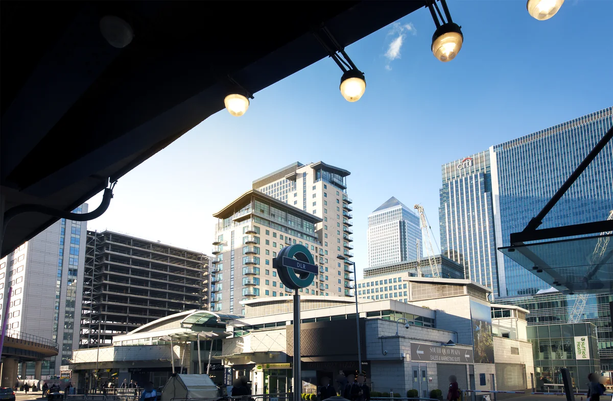
The borough’s heritage is visible in its market streets, religious buildings, industrial sites and dock landscapes. West India Docks is one important chapter: it opened in 1802 and later became part of the Canary Wharf district. Its history also connects London’s growth to Caribbean plantation slavery, a story explored at London Museum Docklands.
Local character
A borough-wide label is useful for understanding local government and statistics, but too broad to describe a home’s surroundings. Tower Hamlets includes very different building scales and street patterns. Start with the places you need to reach, the type of outdoor space you value and the setting you want, then narrow the search to specific neighbourhoods.
Everyday life & places to explore
The council’s network of markets and parks offers several ways to get to know the borough. Victoria Park and Mile End Park provide substantial green space; the markets around Brick Lane and other high streets have their own rhythms. City Financial Property Services is based at 91 Roman Road, giving you a local point of contact when comparing these areas.
Getting around
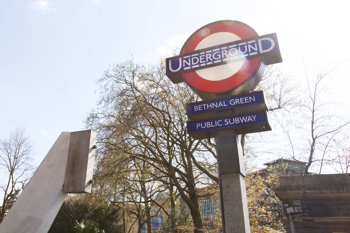
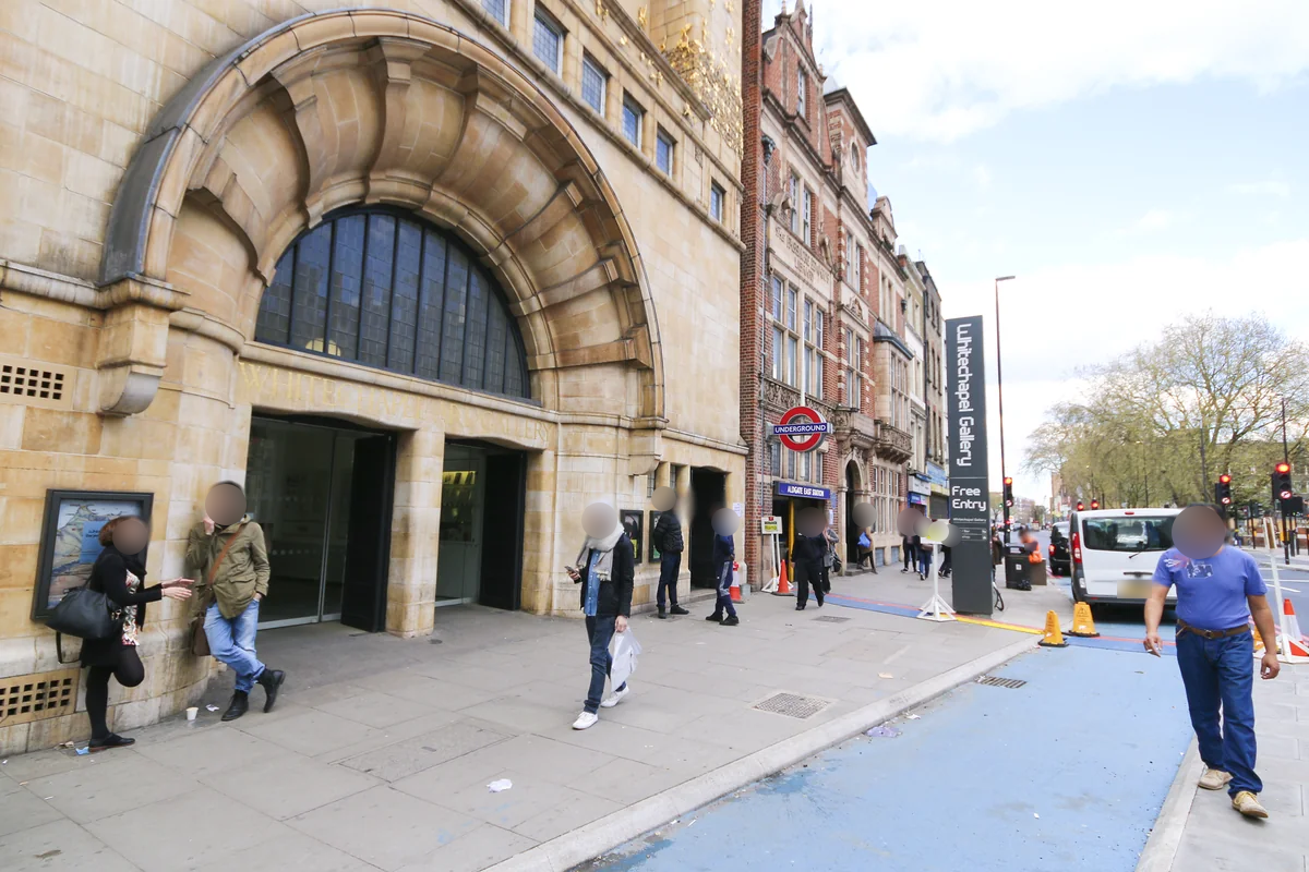
Transport varies across the borough. Whitechapel, Mile End and Canary Wharf are useful interchange points; other neighbourhoods rely on different rail or bus connections. Plan from a specific address rather than applying one journey time to all of Tower Hamlets.
Routes and access can change. Check your journey and station access with TfL (opens in a new tab) before travelling.
Population & boundaries
The population figures below relate to the London Borough of Tower Hamlets, not to an individual neighbourhood or postcode.
ONS’s rounded Census 2021 first results recorded approximately 310,300 residents in the London Borough of Tower Hamlets, an increase of 22.1% from 2011. This is a historical census snapshot, not a current population estimate.
On your first visit
- Use the neighbourhood guides below to turn a broad borough search into a practical shortlist.
- Compare parks and stations from the property’s front door, not from a map label.
- Visit more than one neighbourhood before deciding which setting fits your routine.
Sources & further reading
Reviewed . Local history and transport references are linked below. Population context uses the stated census geography and year.