How the area took shape
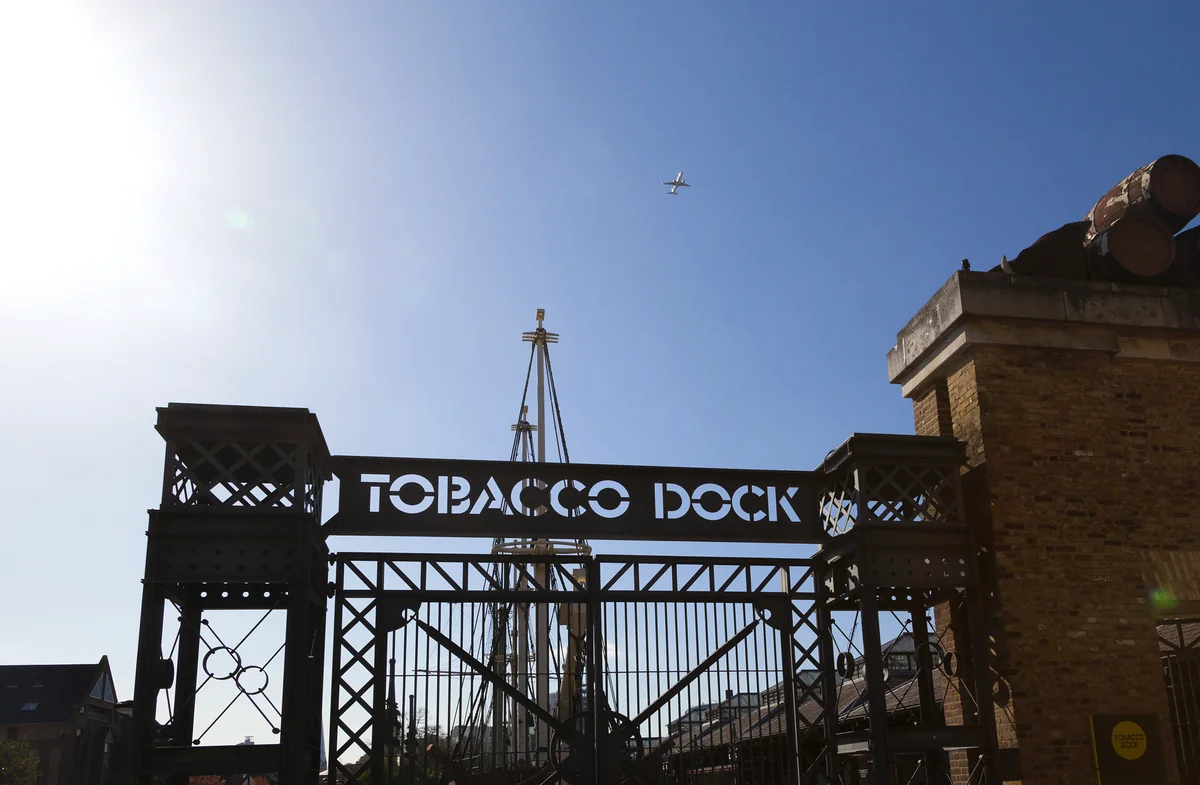
West India Docks opened in 1802 to handle goods from Caribbean plantations dependent on enslaved labour. The dock estate later became part of Canary Wharf’s financial district. London Museum Docklands, in a surviving warehouse, explains both the port’s working history and the exploitation behind its wealth.
Local character
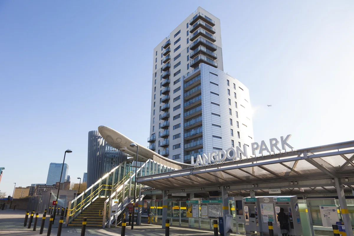
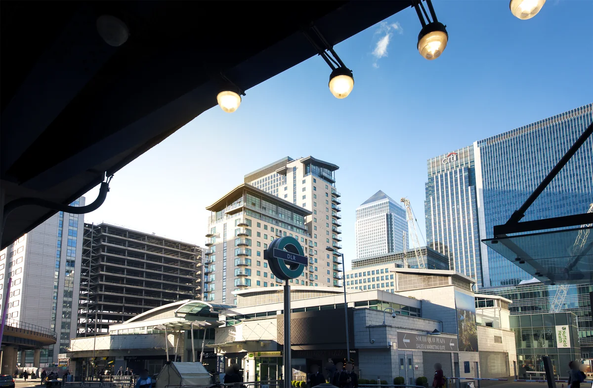
The area combines large commercial buildings with residential development around the docks. Elevated views can be appealing, but the ground-level experience deserves equal attention: entrances, shared spaces and the route to everyday shops shape how a home works. Compare buildings individually rather than assuming a uniform Docklands lifestyle.
Everyday life & places to explore
Jubilee Park and Crossrail Place Roof Garden offer outdoor settings among the larger buildings. London Museum Docklands adds historical context nearby. When visiting a property, leave time for a walk along the dock edge and through the spaces you would use for shopping, a break outdoors or meeting friends.
Getting around
Canary Wharf is served by the Jubilee line, Elizabeth line and DLR, using separate station locations. Check which entrance is closest to the property and which line serves your destination. The same station name can conceal a meaningful difference in the walk.
Routes and access can change. Check your journey and station access with TfL (opens in a new tab) before travelling.
Population & boundaries
The Canary Wharf estate, surrounding residential district and census ward are not identical. No ward figure is presented as the population of the whole neighbourhood.
For wider demographic context, use the ONS profile for Tower Hamlets linked below. We have not substituted its borough total for a neighbourhood count.
On your first visit
- Compare the actual route to each of the separate Canary Wharf stations.
- Look at the building’s entrance, shared spaces and outlook as well as the apartment.
- Visit the dockside and public spaces outside the main working-day rush.
Sources & further reading
Reviewed . Local history and transport references are linked below. Population context uses the stated census geography and year.