How the area took shape
The park was created on land previously occupied by terraced housing. The council’s conservation appraisal identifies surviving Victorian buildings around St Leonard’s Road, including the former St Michael and All Angels Church, built in 1864–65. The nearby Spratt’s factory complex records another part of the area’s industrial past.
Local character
The conservation area brings a concentration of older buildings into a wider landscape of later housing. Its streets, small green spaces and landmark tower give parts of the neighbourhood a recognisable centre. Individual homes can sit in very different surroundings, so compare the street frontage as carefully as the interior.
Everyday life & places to explore
Langdon Park itself is the obvious starting point for a visit. Explore the streets around it and the route towards the station to see how shops, open space and housing connect. The presence of a local park matters most when its entrances and paths work naturally with your day-to-day movements.
Getting around
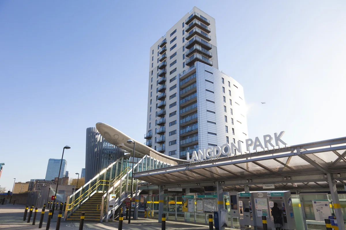
Langdon Park DLR station opened in December 2007. It provides access to the Docklands network. Check the destination and any interchange for your journey, since living near the DLR does not mean every service runs directly to the same place.
Routes and access can change. Check your journey and station access with TfL (opens in a new tab) before travelling.
Population & boundaries
Langdon Park is a park and neighbourhood name, not a standalone borough. The linked census context relates to Tower Hamlets as a whole.
For wider demographic context, use the ONS profile for Tower Hamlets linked below. We have not substituted its borough total for a neighbourhood count.
On your first visit
- Walk around the park and St Leonard’s Road to understand the older local centre.
- Check the exact walking route between the front door and DLR entrance.
- Compare a home’s outlook towards the park, railway or neighbouring buildings.
Sources & further reading
Reviewed . Local history and transport references are linked below. Population context uses the stated census geography and year.