How the area took shape
The area’s industrial story is tied to the River Lea and its waterways. The tide mills at nearby Three Mills recall the importance of milling before the modern city developed around them. Historic England identifies the surviving late-eighteenth- and early-nineteenth-century mills as significant industrial heritage.
Local character
The setting varies between established housing and newer development around the waterways and main roads. That variation makes an on-foot visit especially valuable. A map can make two properties look close while major roads, crossing points and water channels produce quite different everyday routes.
Everyday life & places to explore
Bromley Recreation Ground, also known as Bob’s Park, is managed by the Bromley by Bow Centre. The wider Lea-side setting gives another direction for exploring. Three Mills is a nearby heritage destination across the water; it is included here as local context, not as a claim that all surrounding land shares one neighbourhood boundary.
Getting around
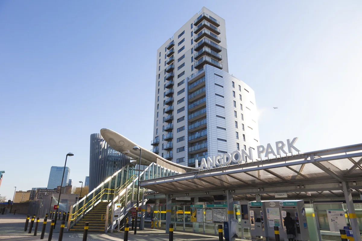
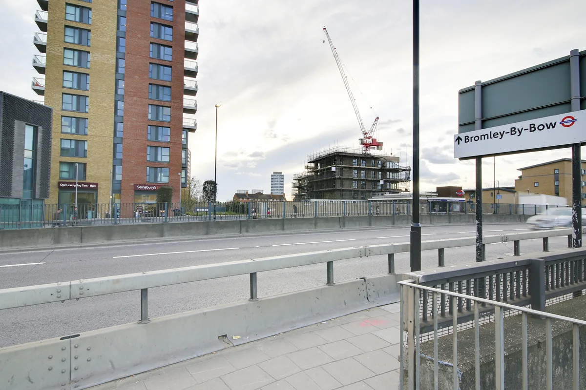
Bromley-by-Bow station has District and Hammersmith & City services. Devons Road DLR may suit some addresses. Walk the route you would use and check crossings around the A12 before deciding which connection is most convenient for a particular home.
Routes and access can change. Check your journey and station access with TfL (opens in a new tab) before travelling.
Population & boundaries
This guide describes Bromley-by-Bow as a neighbourhood in Tower Hamlets. It does not use the population of the separate London Borough of Bromley.
For wider demographic context, use the ONS profile for Tower Hamlets linked below. We have not substituted its borough total for a neighbourhood count.
On your first visit
- Distinguish Bromley-by-Bow from Bow and from Bromley in south-east London when searching.
- Test the route across major roads rather than relying on straight-line distance.
- Explore both the neighbourhood streets and the nearby waterways.
Sources & further reading
Reviewed . Local history and transport references are linked below. Population context uses the stated census geography and year.