How the area took shape
Railways reshaped Stratford during the nineteenth century. The railway arrived in 1839 and the engineering works opened in 1847, supporting a growing community of workers. More recently, London 2012 transformed former industrial land into venues, parkland and new development around Queen Elizabeth Olympic Park.
Local character
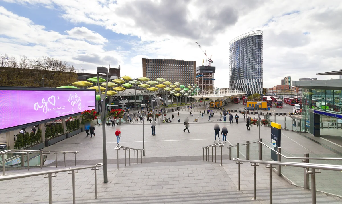
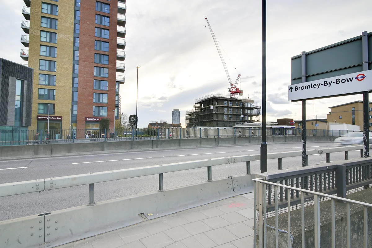
Stratford’s scale is one of the first things to understand. The traditional centre and the newer development around the park are not the same setting. Large roads, rail lines and shopping routes affect the walk between places, so two nearby map pins can produce rather different daily experiences.
Everyday life & places to explore
Queen Elizabeth Olympic Park offers a landscape built around the legacy of the Olympic and Paralympic Games. Its parkland and sporting venues add another dimension to the town centre. A viewing day is more useful if you include the actual route from the property to the part of Stratford you expect to use most.
Getting around
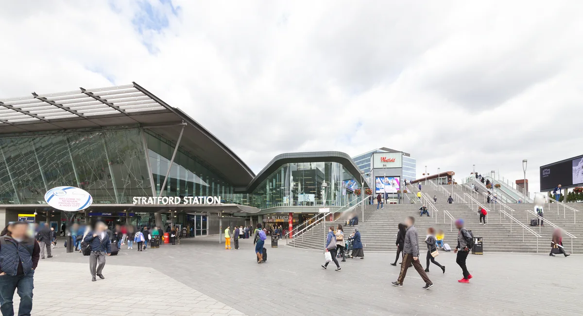
Stratford has Central, Jubilee, Elizabeth, Mildmay and DLR services, alongside National Rail. Stratford International is a separate station. Confirm the station and entrance that fit your journey rather than assuming the names refer to one location.
Routes and access can change. Check your journey and station access with TfL (opens in a new tab) before travelling.
Population & boundaries
Stratford is a town-centre and neighbourhood name, not the whole borough. Newham census totals are wider context and are not used as a Stratford population figure.
For wider demographic context, use the ONS profile for Newham linked below. We have not substituted its borough total for a neighbourhood count.
On your first visit
- Compare the older town centre with the streets around the Olympic Park.
- Distinguish Stratford station from Stratford International when planning a commute.
- Check the walk around major roads and railway infrastructure from each property.
Sources & further reading
Reviewed . Local history and transport references are linked below. Population context uses the stated census geography and year.