How the area took shape
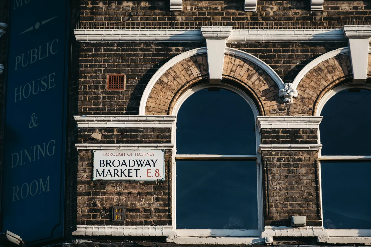
The current borough was formed in 1965 by bringing together the former boroughs of Hackney, Shoreditch and Stoke Newington. Railways helped transform an earlier landscape of fields and settlements into Victorian urban streets. Older layers remain visible at places such as Sutton House, a Tudor building preserved in central Hackney.
Local character
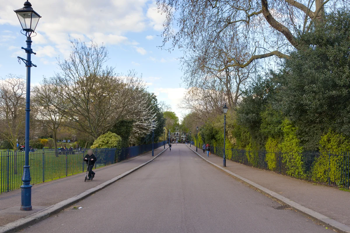
Hackney’s variety is more useful than any single label. A home near a busy centre will offer a different setting from one on a residential side street or towards a green space. Start with the daily life you want, then compare actual streets and buildings rather than treating all Hackney addresses as equivalent.
Everyday life & places to explore
Sutton House offers a way into the area’s deeper history, while the council’s archives record the people and communities who shaped the borough. Exploring around the town hall and then visiting another neighbourhood can make the borough’s different identities much clearer than a short visit to just one destination.
Getting around
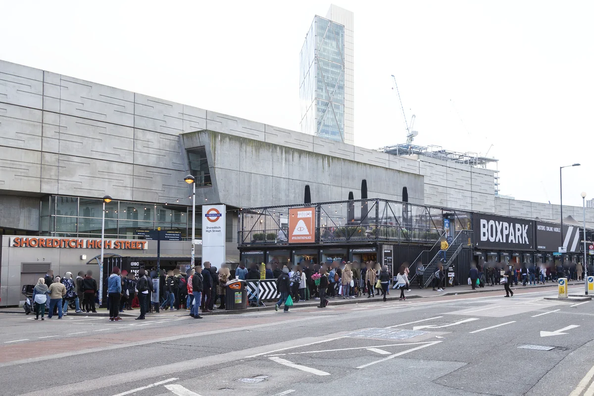
Hackney Central is on the Mildmay line and Hackney Downs on the Weaver line. Shoreditch High Street uses the Windrush line. These are different parts of the borough, so choose a route from the property you are considering rather than assuming a borough-wide connection.
Routes and access can change. Check your journey and station access with TfL (opens in a new tab) before travelling.
Population & boundaries
This page covers the London Borough of Hackney. Its census population is not a figure for Hackney Central or Shoreditch alone.
ONS’s rounded Census 2021 first results recorded approximately 259,200 residents in the London Borough of Hackney, an increase of 5.3% from 2011. This is a historical census snapshot, not a current population estimate.
On your first visit
- Decide whether you mean Hackney Central, Shoreditch or another part of the wider borough.
- Walk the route to the station that actually serves your destination.
- Compare the immediate street setting and access to outdoor space for each home.
Sources & further reading
Reviewed . Local history and transport references are linked below. Population context uses the stated census geography and year.