How the area took shape
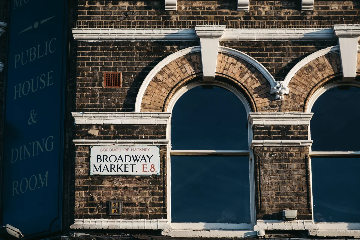
Shoreditch developed as a separate historic parish around St Leonard’s Church. Hackney Council records references to the name from the twelfth century. The former metropolitan borough of Shoreditch joined Hackney and Stoke Newington in 1965 to form the present London Borough of Hackney.
Local character
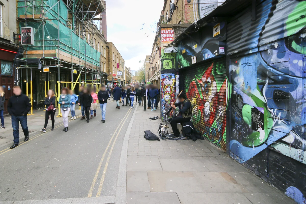
The contrast between older streets and newer development is central to Shoreditch’s character. Curtain Road and the streets towards Brick Lane connect different pockets of activity. For a home search, the most useful distinction is often between a route used by visitors throughout the evening and a quieter street a short distance away.
Everyday life & places to explore
Shoreditch offers a concentrated mix of shops, cafés and cultural activity rather than one traditional town-centre square. Plan a walk through its streets before deciding which part you prefer. Hackney Council’s regeneration information is a useful way to understand how change is being managed alongside the existing neighbourhood.
Getting around
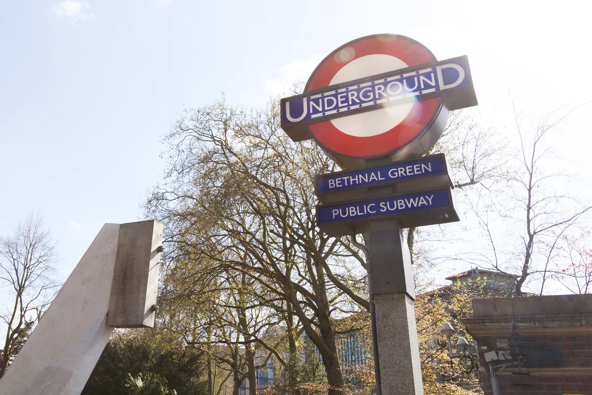
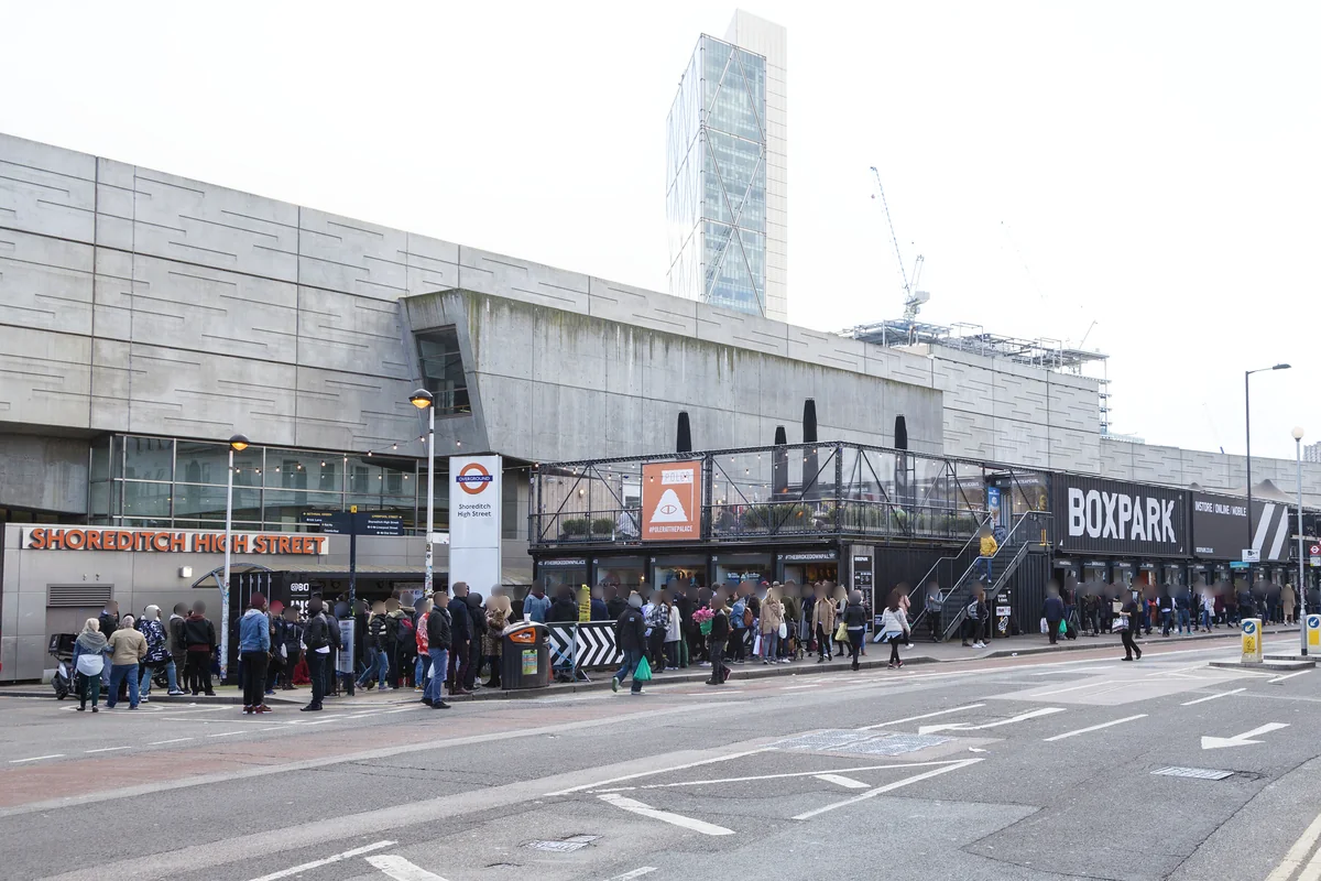
Shoreditch High Street is on the Windrush line. Old Street and Liverpool Street may also be useful, depending on the address. Compare the full walk and interchange rather than assuming that every home described as Shoreditch has the same connection.
Routes and access can change. Check your journey and station access with TfL (opens in a new tab) before travelling.
Population & boundaries
Shoreditch is a historic neighbourhood whose everyday usage can extend across borough edges. Hackney’s population is borough-wide and is not a Shoreditch total.
For wider demographic context, use the ONS profile for Hackney linked below. We have not substituted its borough total for a neighbourhood count.
On your first visit
- Visit during the working day and again in the evening to understand the street’s rhythm.
- Check the position of a bedroom relative to nearby venues and main roads.
- Compare the walk to Shoreditch High Street, Old Street and Liverpool Street.
Sources & further reading
Reviewed . Local history and transport references are linked below. Population context uses the stated census geography and year.