How the area took shape
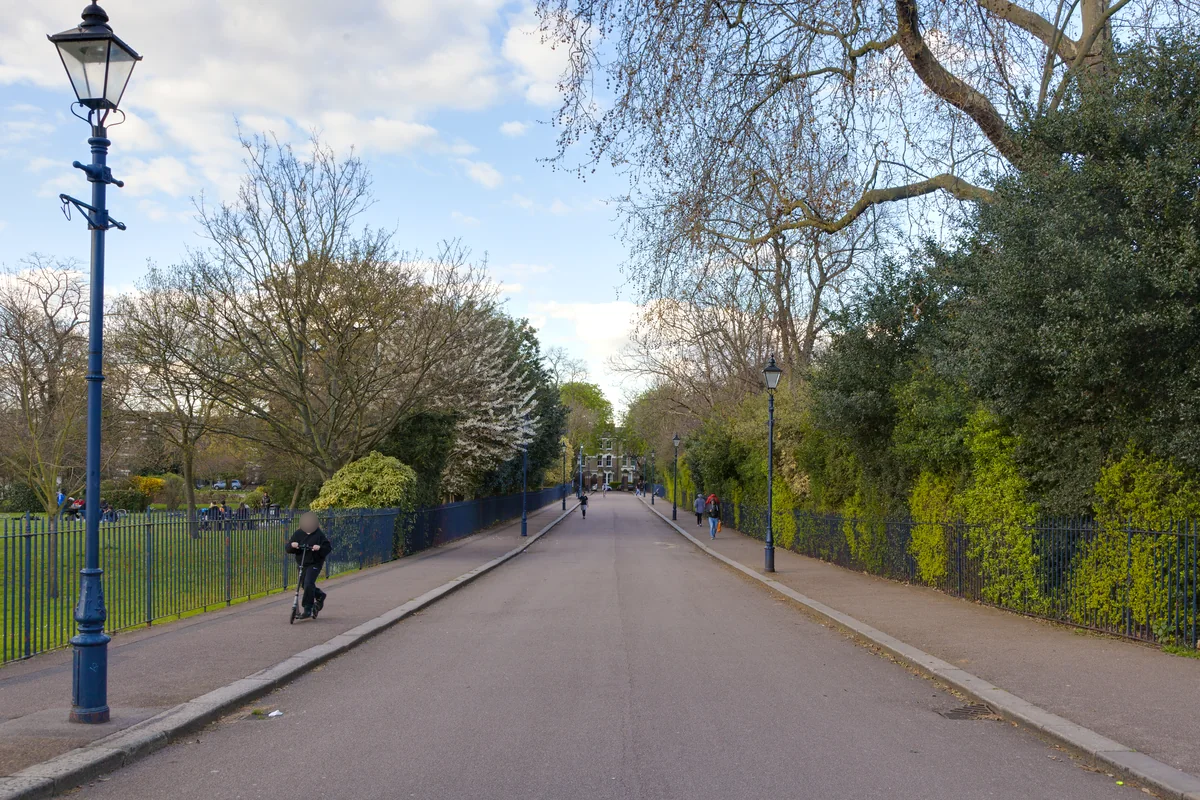
Victoria Park opened in 1845 to provide public space for East London. Designed by James Pennethorne, it followed a campaign for a park that would serve the surrounding communities. Its lakes, paths and open landscape remain central to the area’s identity.
Local character
The park is in Tower Hamlets, with Hackney along its northern boundary. That makes “Victoria Park” a useful lifestyle description but not a precise administrative area. Homes on opposite sides can have different council services and practical connections, even though they share access to the same green space.
Everyday life & places to explore
The park’s 86 hectares include space for walking, sport, play and events. Its connections with canals and Mile End Park help form a wider green corridor. For a home search, choose a likely entrance and walk from there: the nearest point on the park boundary is not always the most useful gate.
Getting around
There is no Tube station called Victoria Park. The council identifies Mile End, Cambridge Heath and Hackney Wick as useful rail approaches. The best choice depends on the side of the park, your destination and the walking route from the property.
Routes and access can change. Check your journey and station access with TfL (opens in a new tab) before travelling.
Population & boundaries
The park has no resident population comparable to a neighbourhood. Surrounding homes span different areas; Tower Hamlets figures describe the park’s borough, not all nearby residents.
For wider demographic context, use the ONS profile for Tower Hamlets linked below. We have not substituted its borough total for a neighbourhood count.
On your first visit
- Choose a park entrance before comparing walking distances.
- Check the address’s borough rather than inferring it from “Victoria Park”.
- Try your route after park closing time if you would normally walk through it.
Sources & further reading
Reviewed . Local history and transport references are linked below. Population context uses the stated census geography and year.