How the area took shape
Mile End Park grew from a post-war plan to link parts of London with the Thames through green routes. Much of its development came later in the twentieth century. The planted Green Bridge opened in 1999, carrying the park over Mile End Road and making its landscape unusually continuous.
Local character
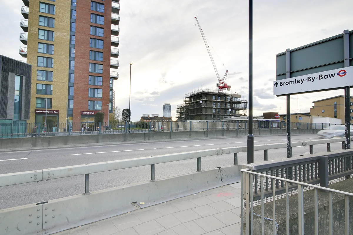
The main road, campus and park create distinct settings within a small area. A home close to the station offers a different daily experience from one towards the canal or a side street. Use the area name as a starting point, then compare the immediate surroundings of each address.
Everyday life & places to explore
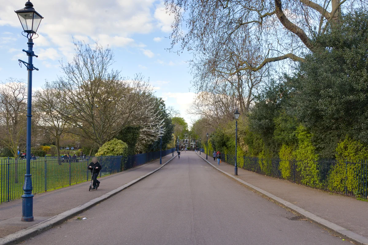
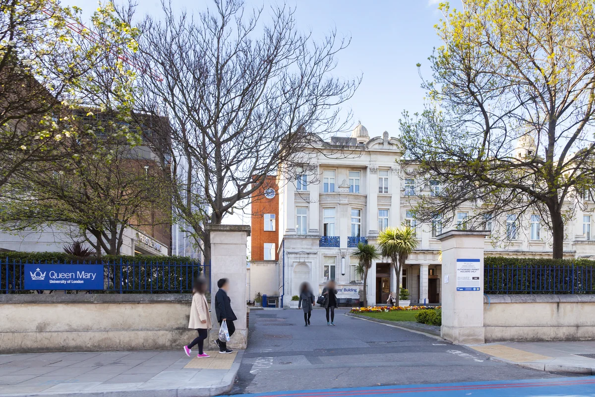
The park includes ecology and arts spaces, with pavilions and a varied landscape. Queen Mary’s Mile End campus is another major local landmark. Together they give the area a mix of public green space and educational activity. A walk through the park can help you judge how much of it you would use in an ordinary week.
Getting around
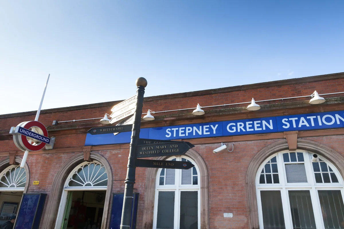
Mile End station serves the Central, District and Hammersmith & City lines. The interchange is useful for different directions across London, but the walk from a property and the route to the platform still matter. Check your own journey rather than relying on a generic commute claim.
Routes and access can change. Check your journey and station access with TfL (opens in a new tab) before travelling.
Population & boundaries
Mile End is used here as a neighbourhood description. Census figures for Tower Hamlets cover a much larger area and are supplied only as context.
For wider demographic context, use the ONS profile for Tower Hamlets linked below. We have not substituted its borough total for a neighbourhood count.
On your first visit
- Try a route through the park as well as one along the main road.
- Check the actual walk between a viewing and the station.
- Compare outlook and noise on the main road with the streets behind it.
Sources & further reading
Reviewed . Local history and transport references are linked below. Population context uses the stated census geography and year.