How the area took shape
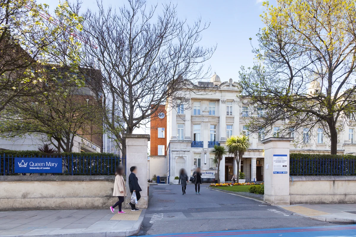
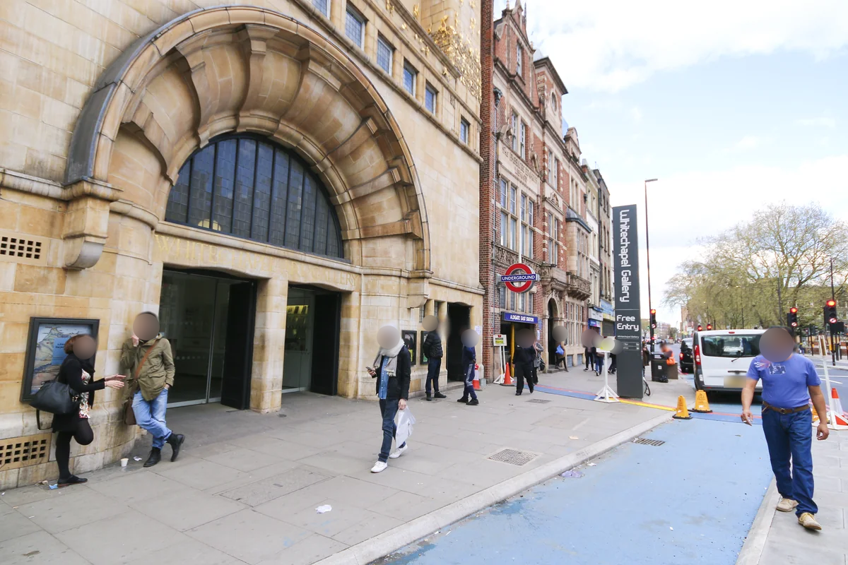
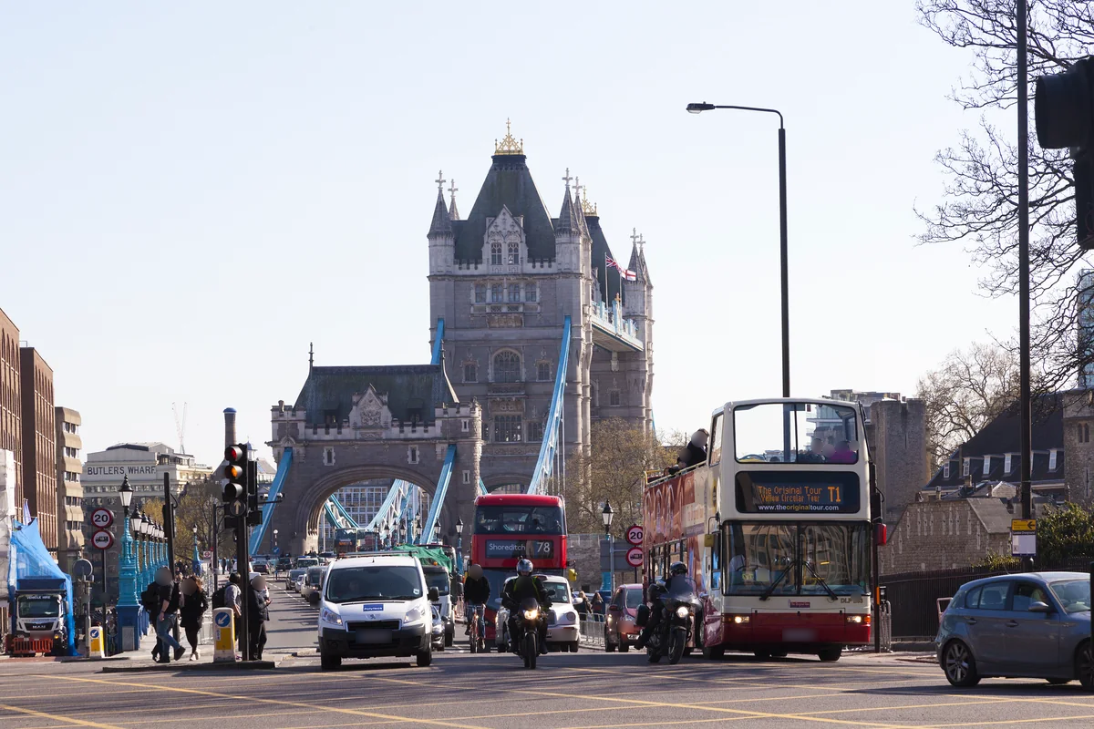
The Stepney Green conservation area includes part of the historic Mile End Old Town. Mile End Road has long connected London with places to the east. Trinity Green’s almshouses, built in 1695, are one reminder of the maritime connections that shaped the wider district.
Local character
The area combines historic houses and mansion blocks with later housing. Its mature gardens help give parts of Stepney Green a distinct residential setting beside the larger scale of Mile End Road. A viewing should take in the surrounding streets as well as the property itself, because the character changes over short distances.
Everyday life & places to explore
Stepney Green Park has play areas, outdoor exercise equipment and sports space. The gardens and neighbouring Stepney City Farm add further reasons to explore locally. For someone choosing a home, it is useful to check which of these places falls naturally on a daily walk rather than simply appearing nearby on a map.
Getting around
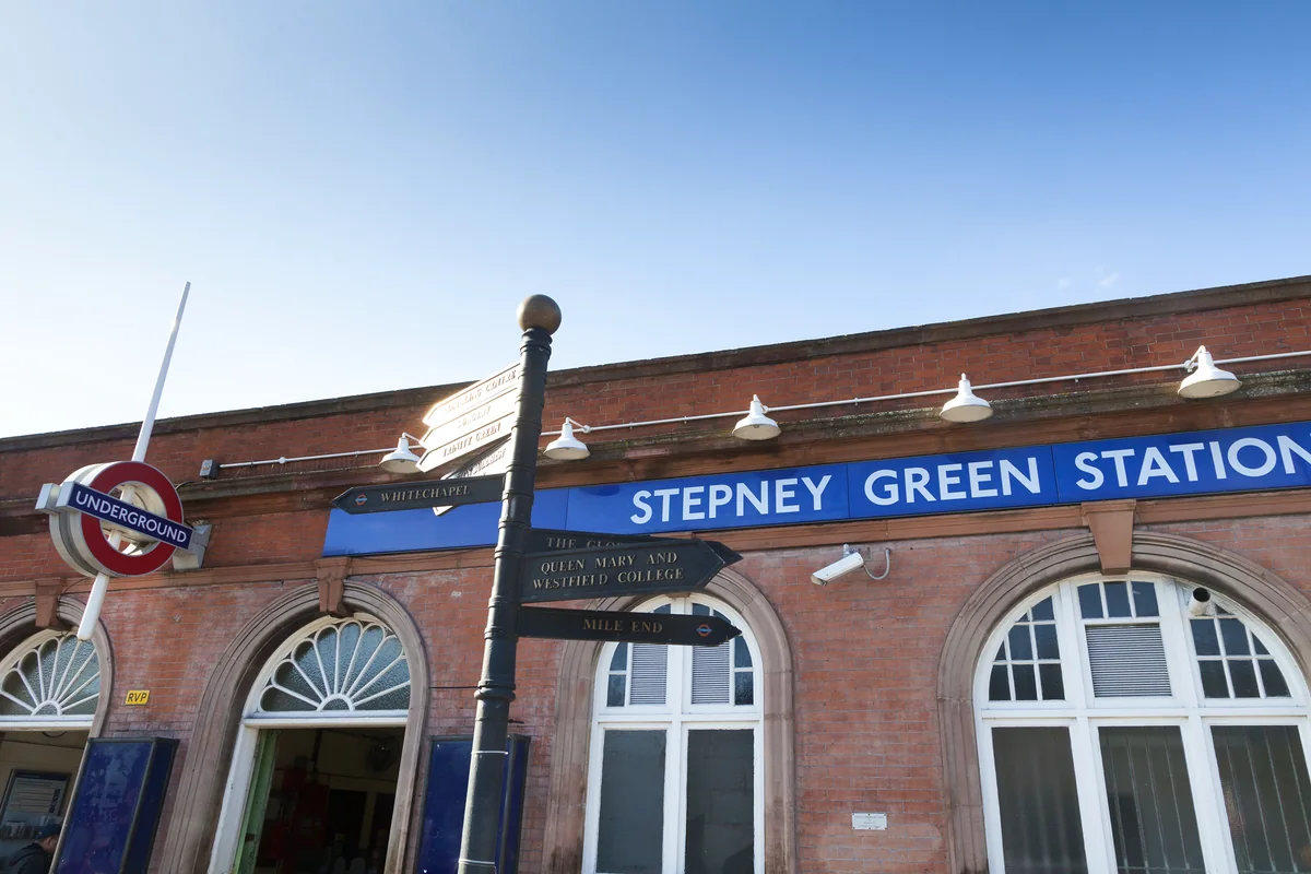
Stepney Green station serves the District and Hammersmith & City lines. Homes farther from Mile End Road may have a longer walk to the station than the area name suggests. Try the route at the time you expect to use it and check crossings along the way.
Routes and access can change. Check your journey and station access with TfL (opens in a new tab) before travelling.
Population & boundaries
The historic conservation area and the wider neighbourhood are different geographies. No neighbourhood population total is assumed from a ward or borough figure.
For wider demographic context, use the ONS profile for Tower Hamlets linked below. We have not substituted its borough total for a neighbourhood count.
On your first visit
- Include the gardens and the streets south of Mile End Road in your visit.
- Compare the position of older buildings and later blocks, not just their floor area.
- Walk the full station route, including the main-road crossings.
Sources & further reading
Reviewed . Local history and transport references are linked below. Population context uses the stated census geography and year.