How the area took shape
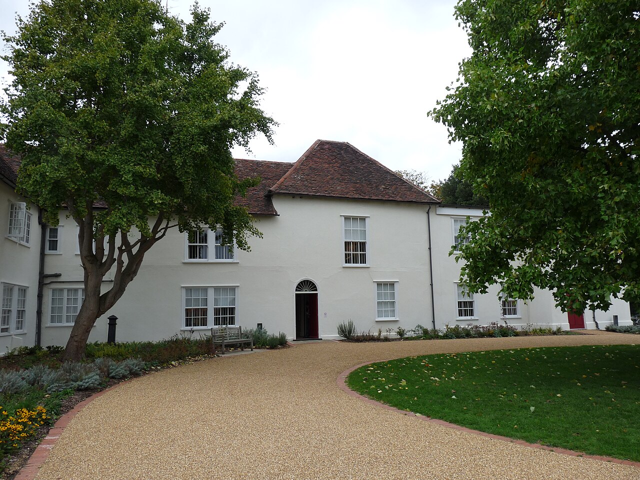
The construction of the Becontree Estate transformed much of Dagenham during the 1920s. Valence House survived that change and later became a museum and local history centre. Its collections explain how fields and older settlements gave way to a planned residential landscape.
Local character
The area’s housing history makes layout and outdoor space useful points of comparison. Look at the relationship between each home, its street and local facilities rather than assuming a standard type of property. Dagenham’s scale also means that a station or park associated with the district may not be close to every address.
Everyday life & places to explore
Valence House and Valence Park provide a starting point for understanding local history and outdoor life. A visit can be combined with an ordinary walk through the surrounding streets. For day-to-day decisions, map the shops and facilities you would actually use, then try the route on foot or by the transport you expect to rely on.
Getting around
Dagenham Heathway and Dagenham East are District line stations. Different parts of the area have different practical approaches to the network. Compare the whole journey, including the route to the station, and avoid assuming that either station serves every Dagenham address equally well.
Routes and access can change. Check your journey and station access with TfL (opens in a new tab) before travelling.
Population & boundaries
Dagenham is part of the London Borough of Barking and Dagenham. A borough population includes Barking too and should not be described as a Dagenham-only count.
For wider demographic context, use the ONS profile for Barking and Dagenham linked below. We have not substituted its borough total for a neighbourhood count.
ONS: Barking and Dagenham — Census 2021 (opens in a new tab)
On your first visit
- Identify the most practical station before comparing otherwise similar homes.
- Look at usable outdoor space and the layout of the street as well as room sizes.
- Visit Valence House to understand the residential history behind the area.
Sources & further reading
Reviewed . Local history and transport references are linked below. Population context uses the stated census geography and year.